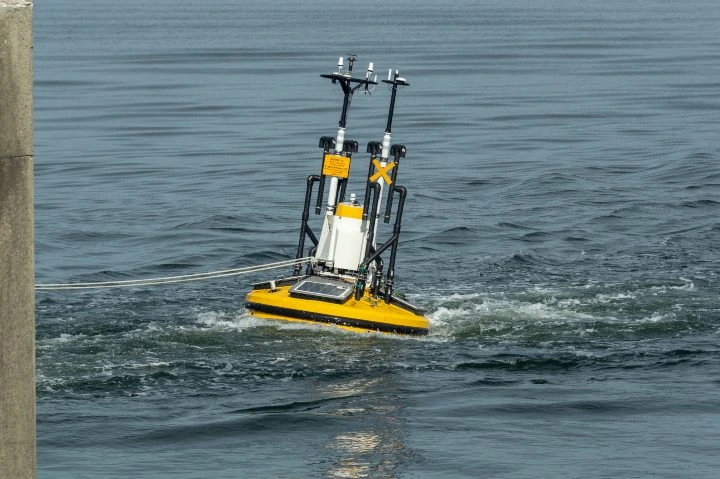
LiDAR, short for Light Detection and Ranging, is a remote sensing technology that uses high-powered lasers to measure distances. It works by emitting light pulses and measuring the time it takes for the light to return after reflecting off an object. This data helps create precise 3D models of the environment. LiDAR systems are widely used across various industries, from mapping and surveying to autonomous vehicles and environmental monitoring. The technology allows for accurate distance measurements, even in low-light conditions, making it highly versatile. LiDAR has evolved significantly since its inception in the 1960s. Initially used for mapping small rivers and streams, it became a critical tool in geospatial data collection with the rise of GPS in the 1980s. Today, LiDAR is more compact, affordable, and accessible than ever before, with applications ranging from drones to smartphones. One of the key advantages of LiDAR is its ability to function in environments where traditional imaging methods struggle. Unlike photogrammetry, which relies on visible light, LiDAR uses infrared or near-infrared lasers, allowing it to operate effectively in darkness or through dense foliage. At its core, LiDAR works by sending out laser pulses and measuring how long it takes for them to bounce back. This time-of-flight measurement, combined with the speed of light, allows the system to calculate the distance to an object with remarkable precision. The basic components of a LiDAR system include a laser, a scanner (or receiver), and a positioning system like GPS. These elements work together to collect and process data, creating detailed 3D maps of the surrounding area. There are three main parts of every LiDAR instrument: The laser emits pulses of light toward the target. These pulses can vary in color and intensity depending on the application, but they all serve the same purpose: to measure distance accurately. The scanner detects the reflected light and records the time it took for the pulse to return. This information is crucial for calculating the distance between the LiDAR system and the object being measured. A GPS module ensures the LiDAR system knows its exact location, allowing it to map the environment with high accuracy. This is especially important when collecting data over large areas or in complex environments. The fundamental equation used in LiDAR is: d = c * t / 2, where: This formula underpins the entire operation of LiDAR, enabling precise distance calculations based on light travel time. LiDAR offers numerous advantages over other 3D mapping technologies. Its high accuracy makes it ideal for applications requiring precise measurements, such as urban planning, infrastructure inspection, and environmental monitoring. Another major benefit is its ability to function in low-light or obscured environments. While photogrammetry relies on visible light, LiDAR can operate effectively in darkness, through fog, or under dense vegetation. Additionally, LiDAR can automate large portions of data collection, reducing the need for manual labor and increasing efficiency. As the technology becomes more affordable, its use continues to expand into new fields. LiDAR systems can be categorized based on several factors, including the type of laser used, the orientation of the system, and the platform it’s mounted on. Topographic LiDAR uses near-infrared lasers to map land surfaces, while bathymetric LiDAR employs green light to measure underwater features like seafloor depth and riverbed elevations. LiDAR systems can be oriented in different ways—nadir (looking down), zenith (looking up), or lateral (looking sideways). The orientation determines the system’s primary function and the type of data it collects. LiDAR can be mounted on a variety of platforms, including drones, airplanes, satellites, and ground vehicles. Each platform offers unique advantages, depending on the application and the environment being mapped. LiDAR is used in a wide range of industries, from agriculture and forestry to law enforcement and transportation. Its versatility makes it a valuable tool for both scientific research and practical applications. A LiDAR sensor mounted on an aquatic platform Here are some of the most common applications of LiDAR: LiDAR is used to quickly capture detailed images of accident sites, helping emergency responders and investigators understand what happened. The data can also be used in legal proceedings. LiDAR helps farmers monitor crop health, track water levels, and manage livestock. It can even detect individual insects, providing valuable insights for precision farming. Aerial LiDAR is used to study atmospheric conditions, such as pollution levels, cloud structures, and gas distribution. It plays a key role in meteorology and climate research. LiDAR has been instrumental in uncovering ancient structures hidden beneath dense vegetation. In 2017, it helped discover an extensive road system in Central America, revealing lost Mayan settlements. Environmental agencies use LiDAR to monitor forests, wetlands, and coastal areas. It helps assess flood risks, track wildlife, and plan conservation efforts more effectively. Drones equipped with LiDAR can access dangerous or hard-to-reach areas, making inspections safer and more efficient. They are used in power line maintenance, construction site surveys, and infrastructure assessments. Insurance companies use LiDAR to quickly assess damage from natural disasters, such as floods or tornadoes. This leads to faster and more accurate claims processing. LiDAR provides detailed tree height and density data, helping foresters manage forests more efficiently. It is particularly useful in areas with heavy canopy cover. Police departments use LiDAR for traffic enforcement, measuring vehicle speeds with high accuracy. It is also used in military operations for surveillance and reconnaissance. In mining, LiDAR is used to assess safety after blasting, measure ore deposits, and identify geological faults. It helps improve operational efficiency and reduce risks. LiDAR is essential for planning and managing transportation infrastructure. It supports route optimization, traffic analysis, and autonomous vehicle navigation. Autonomous vehicles rely on LiDAR for obstacle detection, navigation, and parking. It provides real-time 3D mapping, enabling safe and efficient driving in complex environments. Aluminum Sheet,Aluminum Alloy Plate,1060 Aluminum Plate,Aluminum Plate Shandong Great Steel Co.,Ltd , https://www.great-steel.comWhat Is LiDAR?
 Flyability's Elios 3's LiDAR sensor glows green as it flies through a water treatment plant
How Does LiDAR Work?
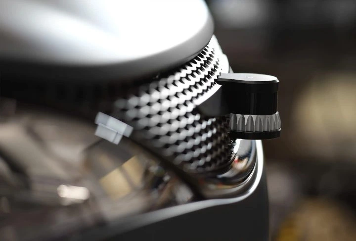
 An infrared photo of a LiDAR sensor | Credit: Ouster
1. The Laser
2. The Scanner
3. Global Positioning System
LiDAR Formula
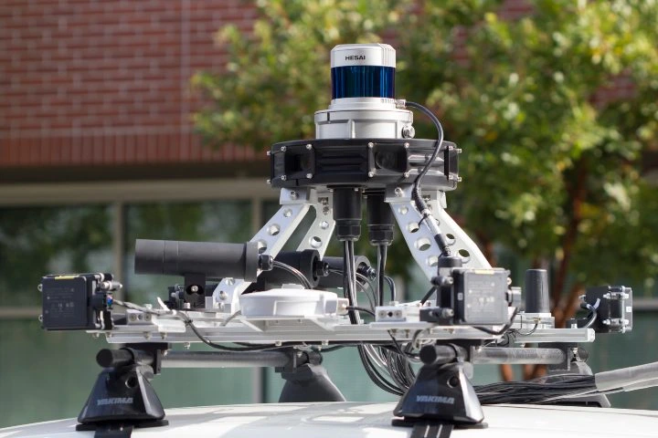
 An Ouster LiDAR sensor attached to a car
Benefits of LiDAR
 A LiDAR sensor mounted to a self-driving car
Types of LiDAR
Laser Type
Orientation
Platform
LiDAR Uses and Applications
1. Accident Scenes
2. Agriculture
3. Atmosphere
4. Archeology
5. Conservation
6. Inspections
7. Insurance
8. Forestry
9. Law Enforcement
10. Mining
11. Transportation
12. Self-Driving Cars